


From the Hawaiian Gazette, Friday, January 11, 1907
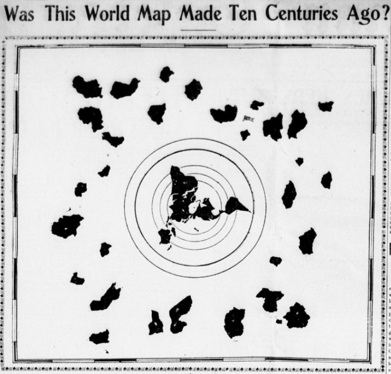
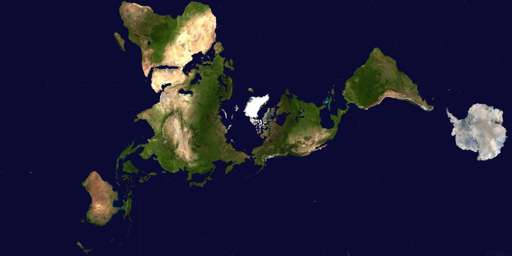
This map is very interesting because it is very similar to a Dymaxion/Fuller Projection Map not invented until the 1940's by Buckminster Fuller except it shows much more land which is not visible on other world maps.
Dymaxion/Fuller Projection
Back to the news article found with the map from the Hawaiian Gazette, Friday, January 11, 1907
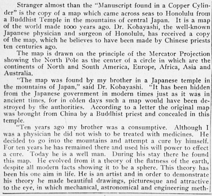
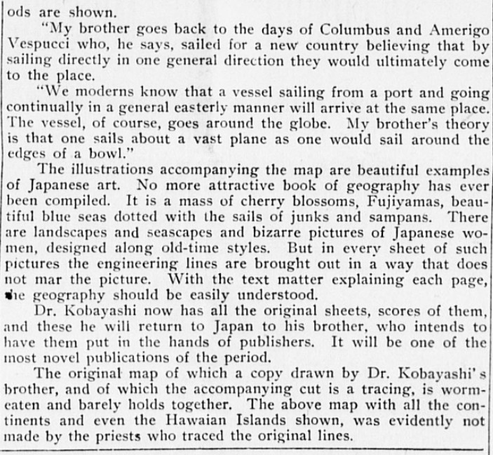
A map that is claimed to be 1000 years old found in a newspaper from 1907 but the map wasn't invented until the 1940's. Most popular conspiracy theory about this map is that he extra land masses surrounding islands are all just Antarctica from every approach, they never realized it's the same landmass.


