Antique maps of Srilanka
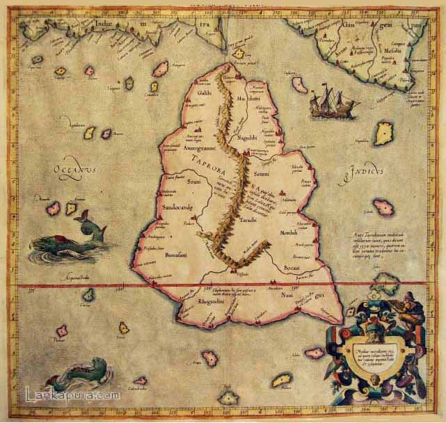
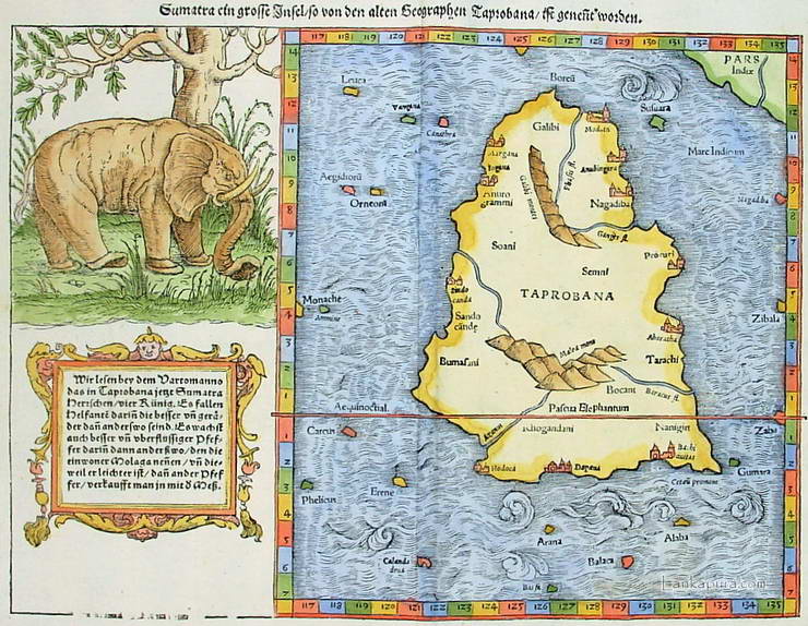
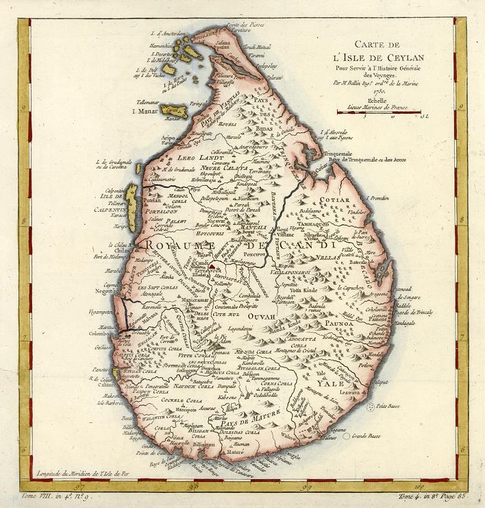
Antique map of Ceylon
Antique map of Ceylon manuscript
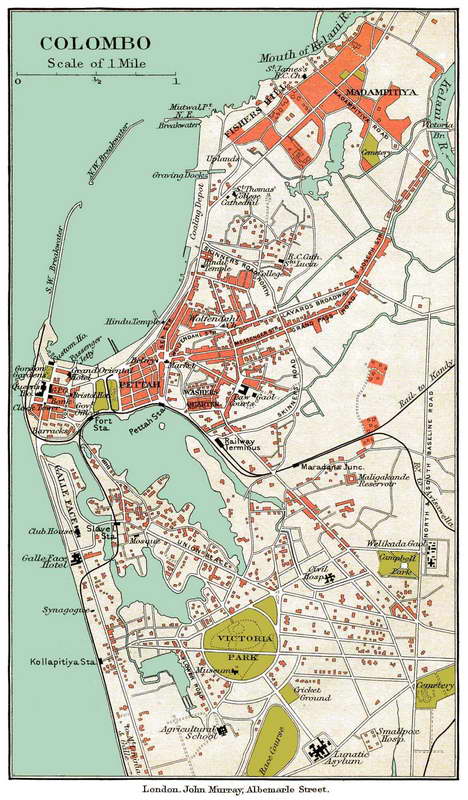
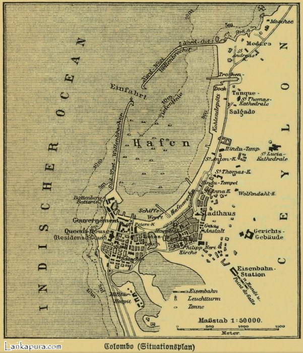
Old map of Colombo - Sri Lanka 1895
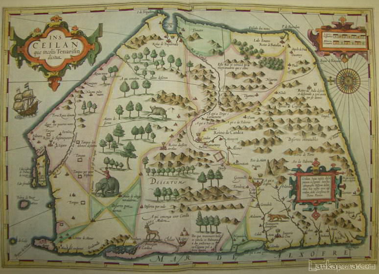
Ceylon, 1620
Early Map of Ceylon
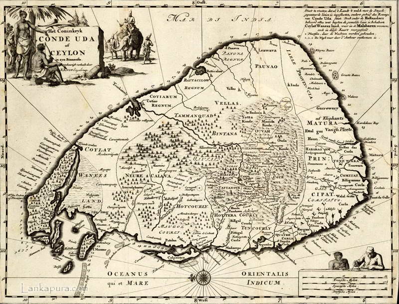
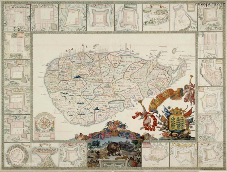
VOC Map of Ceylon c.1692
Map of Colombo, Pettah, Ceylon in 1901
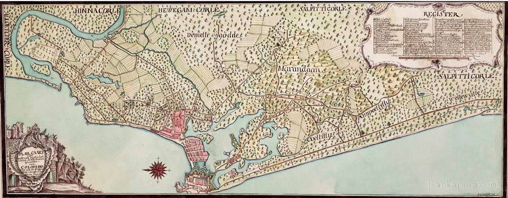
VOC Map of Colombo & surrounding area 1750-1800
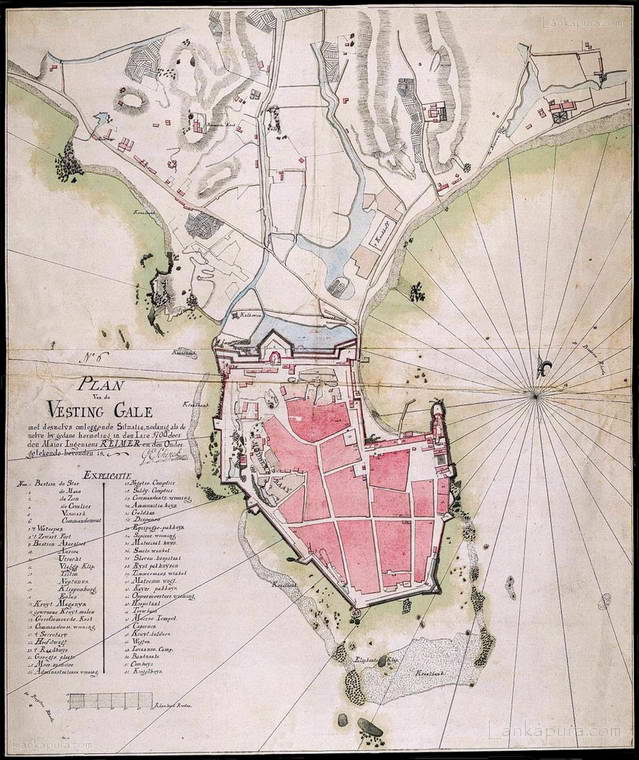
17th Century Map of the fort at Galle Sri Lanka 1790

Map of Ceylon from A Narrative of the Establishment and Progress of the Mission to Ceylon and India
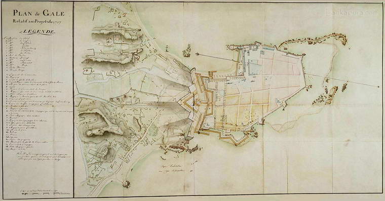
Map of the fort at Galle, Ceylon 1787
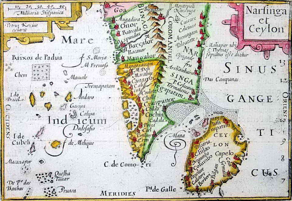
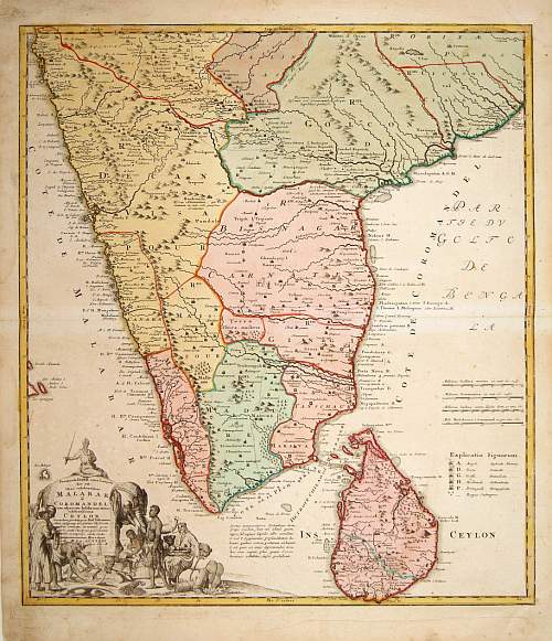
A Bertius map of South India and Sri Lanka 1600-1618
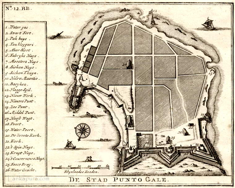
Antique map of Galle fort, Sri Lanka 1726


")

Antique map of Ceylon

Antique map of Ceylon manuscript

Old map of Colombo - Sri Lanka 1895

Ceylon, 1620

Early Map of Ceylon

VOC Map of Ceylon c.1692

Map of Colombo, Pettah, Ceylon in 1901

VOC Map of Colombo & surrounding area 1750-1800

17th Century Map of the fort at Galle Sri Lanka 1790

Map of Ceylon from A Narrative of the Establishment and Progress of the Mission to Ceylon and India

Map of the fort at Galle, Ceylon 1787

A Bertius map of South India and Sri Lanka 1600-1618

Antique map of Galle fort, Sri Lanka 1726


Last edited:


")
